Trail Navigation
Well-Marked Trails, but Caution Needed
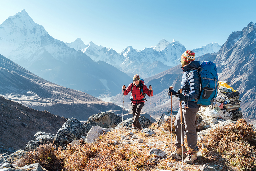
The trails in the Everest region are generally well-marked and maintained, especially the main trekking routes. Signage, prayer flags, and cairns (piles of rocks) are commonly used to indicate the path. However, some sections require extra caution due to their terrain or proximity to hazards. For instance, the route between Namche Bazaar and Tengboche includes steep ascents, narrow paths, and high cliffs alongside deep gorges. This section of the trail can be treacherous, and even experienced trekkers need to be alert. In bad weather, such as heavy rain or snow, or during low visibility conditions, the risk of losing balance or getting disoriented increases. Therefore, trekkers must be prepared to face these challenges, especially in less favorable weather conditions.
Rocky and Uneven Terrain at Higher Altitudes
Further along the trek, the terrain becomes more rugged and difficult to navigate, especially between Lobuche and Gorak Shep. These sections feature rocky paths and uneven ground that require careful footing. As trekkers ascend into higher altitudes, fatigue sets in, and the risk of injury or getting lost can increase. At these elevations, oxygen levels are thinner, making it harder to think clearly or make quick decisions, which is why awareness and concentration are critical.
Avalanches and Landslides
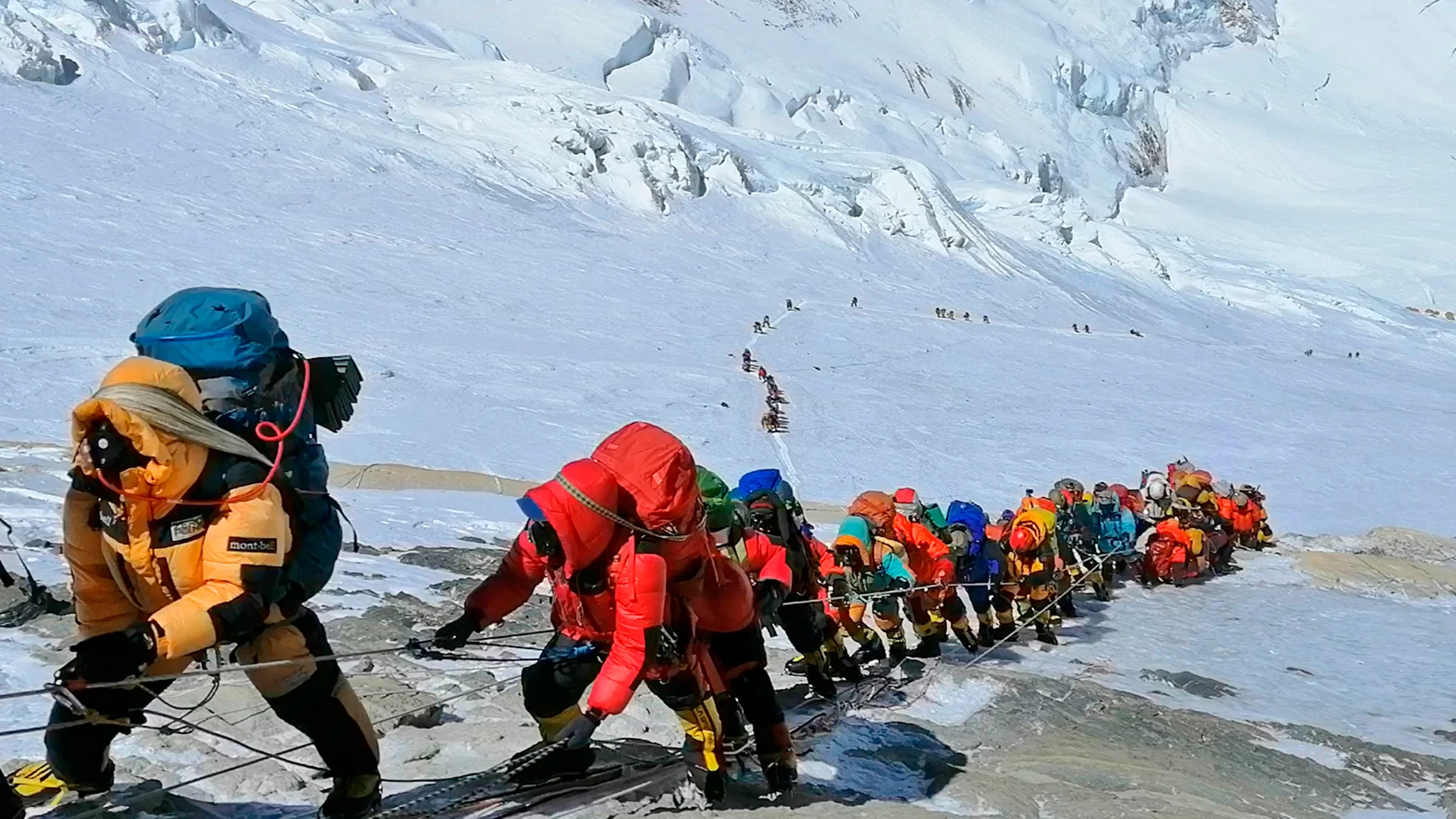
Another hazard that trekkers in the Everest region must be aware of is the risk of avalanches and landslides, especially in areas like Thukla Pass, which is prone to such events during the monsoon season. The high slopes and unstable weather conditions in these areas can trigger avalanches, while the erosion caused by seasonal rains increases the likelihood of landslides. These natural hazards can pose significant dangers to trekkers, particularly in more remote sections of the trek where emergency response may be delayed.
The Importance of an Experienced Guide
An experienced guide plays a vital role in navigating the Everest region's trails safely. Guides are familiar with the various hazards along the route, including tricky sections, unstable terrain, and avalanche-prone areas. Their knowledge allows them to make informed decisions, such as adjusting the route or timing of the trek to avoid dangerous areas. They also know how to provide first aid in case of injuries and help with navigation when trail markers are unclear. Guides can also assist in making sure trekkers stay on designated trails, reducing the risk of getting lost or straying into hazardous areas.
Tools for Navigation
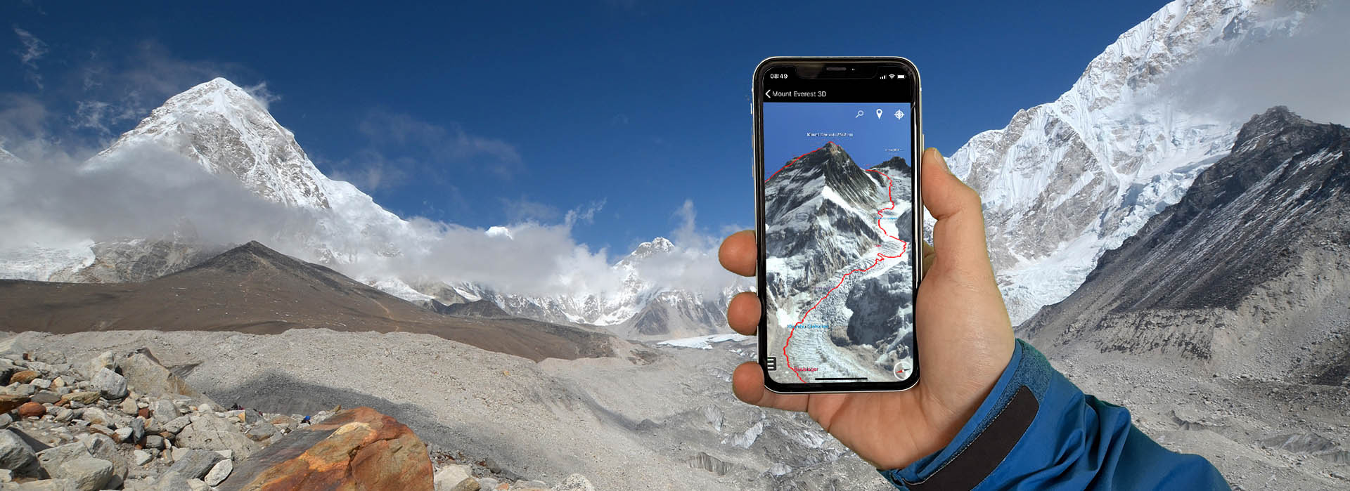
To stay on track and ensure safety, trekkers should always carry maps and GPS devices. These tools provide an additional layer of security, allowing trekkers to check their location if they become disoriented. Following the designated trails, and avoiding shortcuts or unmarked paths, is critical in preventing accidents. Navigational tools help provide extra confidence when visibility is low or in unfamiliar areas.
Why Trail Navigation is Necessary
Proper trail navigation and awareness are essential for the safety of trekkers in the Everest region. Due to the steep, narrow paths, unstable terrain, and potential natural hazards like avalanches and landslides, it’s easy to become lost, injured, or disoriented. An experienced guide’s presence ensures that trekkers avoid risky areas and follow the safest route. The use of maps and GPS devices adds another level of security, helping trekkers navigate the difficult terrain, especially when weather conditions worsen or visibility is reduced. This preparedness helps prevent accidents, ensuring trekkers can complete their journey safely while enjoying the stunning beauty of the region.


